Design a beautiful, high-resolution map of any city, town or place. Pick from 22 styles, recolor every detail, add routes and markers — then download a print-ready map poster for wall art, gifts and keepsakes.
100% free · No account · No watermark · Map data © OpenStreetMap
Every one of these was made in the browser, free. See the gallery →
No design skills needed — go from a place name to a print-ready poster in about two minutes.
Search any city, town, address, mountain range or coastline to center your map.
Pick one of 22 map styles and fine-tune the colors, labels and markers to match your décor.
In Studio mode add routes, GPX tracks, a title, coordinates or a QR code.
Export a free high-resolution PNG in poster sizes up to A1 — ready to print and frame.
A full map editor in your browser — free, with no account required.
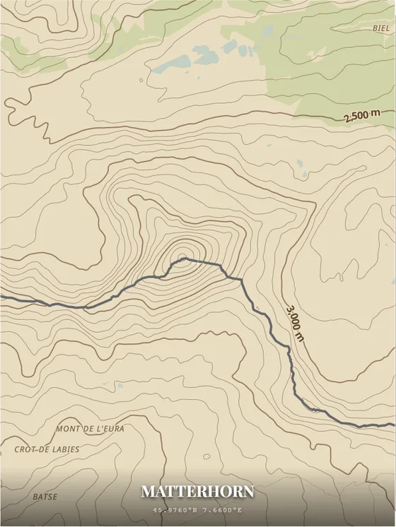
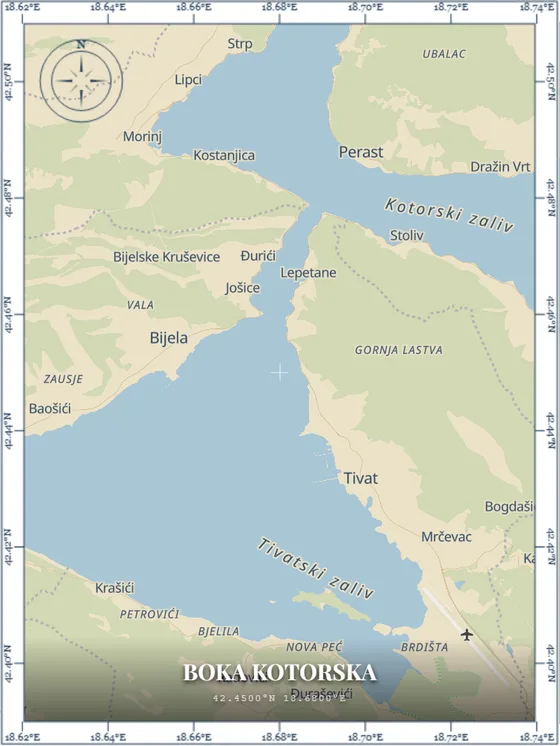
Minimalist, retro, dark, satellite, watercolour, topographic and more — plus DIY custom colors.
Recolor land, water, roads, parks, buildings and labels. Toggle 3D buildings and map labels.
Add markers, text labels, shapes and a plan-your-route tool with driving directions.
Import GPX, GeoJSON and KML tracks to turn a hike, run or ride into wall art.
Download a print-ready PNG in poster sizes from A4 to A1, or set a custom size in centimetres.
No account, no watermark. Files are automatically deleted from our servers after 24 hours.
Relive a hike, marathon, bike ride or road trip. Import your track and print the route as a personalized map poster.
Upload a track from Strava, Garmin, Komoot or any GPS app and drop it straight onto the map.
No file? Plan a route point-to-point with driving directions right in the editor.
GPX tracks with elevation show a profile with total ascent, descent and distance.
Orbit the camera around your framed map and save it as an MP4 — ready to post. Recorded in your browser, nothing uploaded.
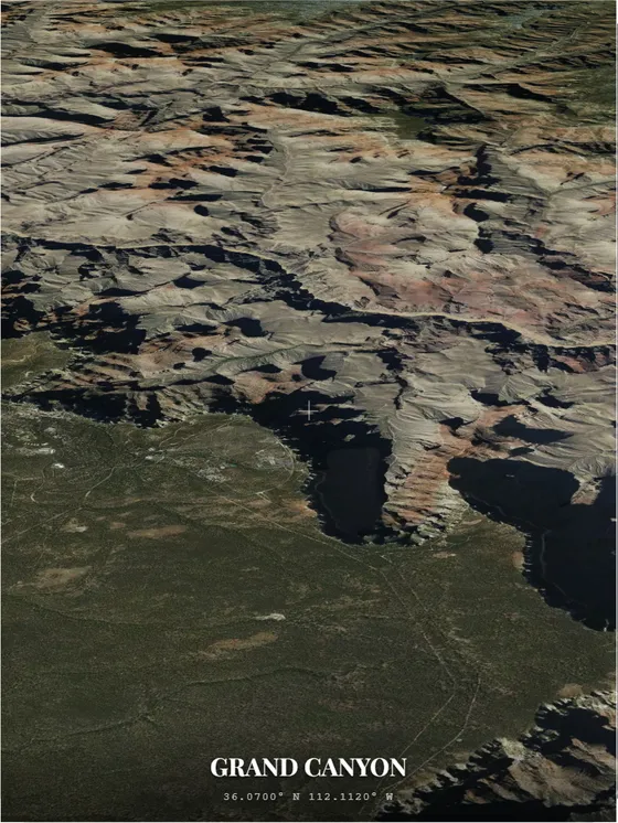
Grand Canyon, satellite view with 3D terrain — recorded with PrintMap, unedited. Imagery © MapTiler, map data © OpenStreetMap contributors.
5, 10 or 15 seconds at 30 or 60 fps. Plays anywhere, free like everything else.
16:9 for Reddit and YouTube, 9:16 for Reels and Stories, 4:5 for Instagram, 1:1, 21:9 — the frame reshapes to match.
Tilt the view, turn on terrain and let the camera circle a mountain, canyon or coastline.
Every frame renders live in your browser, so smoothness follows your device — a laptop or a recent phone handles it best. Older phones may come out choppy, and the app tells you the frame rate it managed.
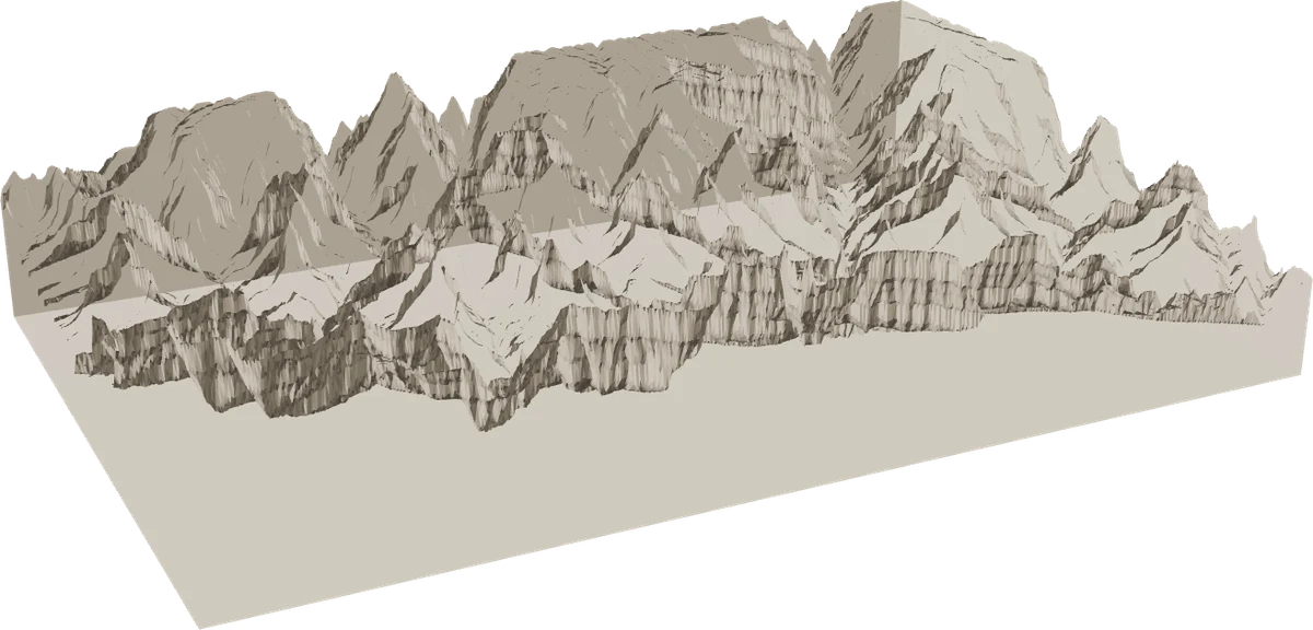
Export a 3D-printable model of the terrain in your frame — mountains, valleys and coastlines in real relief, with your route engraved as a raised ridge. Download a free STL for your own printer, or order a full-colour 3D printed relief map that we print and ship.
A 3D-printable terrain relief (STL) of any location, built from real open elevation data — free for your own 3D printer, no account.
Order a full-colour 3D printed relief map — your map fused onto the physical terrain and printed in colour, then shipped to your door.
3D print a hike, a mountain, an island or a coastline as a tactile keepsake or gift, with your GPX route engraved into the surface.
Terrain relief only — streets and buildings appear as colour on the surface, not as raised 3D objects.
From clean black-and-white line maps to vivid satellite and artistic looks — then recolor any of them.
A custom map is a personal, meaningful piece of art or a thoughtful gift.
Turn your favorite city or hometown into framed poster art.
Map the place you met, got engaged or married.
First home, childhood street or a "where it all began" map.
Print a marathon, hike or cycling route straight from a GPX file.
Commemorate a trip or a place that means something to you.
Add a title, date and coordinates for a one-of-a-kind present.
Yes, PrintMap is completely free — including high-resolution 300 and 600 dpi exports and true-vector SVG/PDF — with no account and no watermark.
Custom map posters and wall art, personalized map gifts for weddings and anniversaries, hometown keepsakes, hiking and cycling route maps from GPX files, and travel memory maps.
You can export a high-resolution PNG, or a true-vector SVG or PDF, in poster sizes from A4 up to A1 or a custom size. A 3D-printable STL relief model is also available.
There are 22 map styles grouped into five collections — Classic, Artistic, Dark, Nature and Special — plus a DIY mode for fully custom colors.
Yes. Export a free 3D-printable STL terrain relief for your own 3D printer, or order a full-colour 3D printed relief map that we print and ship to you. It models the terrain — mountains, valleys and coastlines — and engraves your route as a raised ridge. Streets and buildings appear as colour on the surface, not as raised 3D objects.
Yes. In Studio mode you can import GPX, GeoJSON and KML files, plan routes with the built-in route planner, and add markers, labels and a QR code.
No account is needed. You can design and download your map poster for free without signing up.
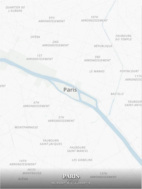
Free, in your browser — no signup, no watermark.
Create your map →PrintMap is free. Your support keeps it running and funds higher-quality downloads and new features.
Support via PayPal