How to make a hiking map poster
- Import your GPX. Export the track from Strava, Garmin Connect, Komoot, AllTrails or your watch and drop the .gpx file into the editor — the map zooms to the whole trail. No file? Draw the trail by hand on the map with the line tool.
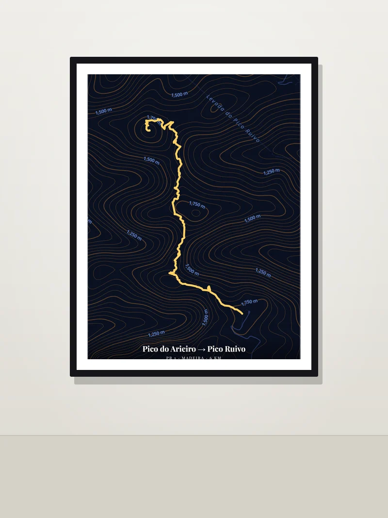
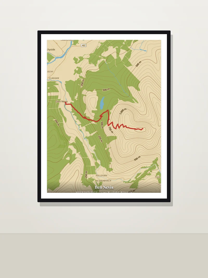
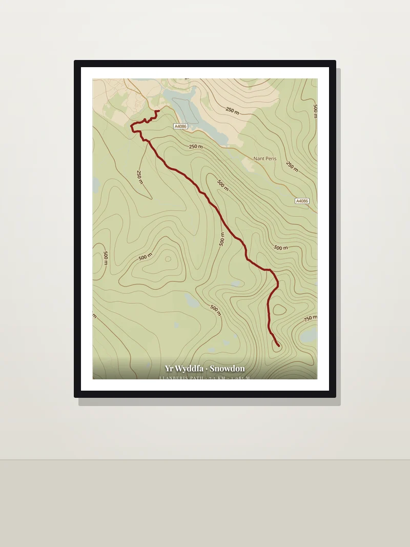
- Turn on contour lines. In Studio mode switch on contours and pick fine, medium or coarse spacing; the height labels follow the lines. The Topo and Vintage styles look like a classic walking map, Midnight turns the relief into a dark art print.
- Style the trail. Choose the line colour and width so the route stands out from the contours — red or orange on light maps, yellow or white on dark ones.
- Write it down. The trail or summit as the title, then distance, height and date: "Ben Nevis · 1,345 m · 14 June 2025".
Ideas for hikers
- First summit — Ben Nevis, Snowdon, Triglav, Kilimanjaro, Mount Whitney.
- Long-distance trails — the West Highland Way, Laugavegur or a section of the Camino; a whole trail fits on one A2 poster.
- A season in the mountains — several GPX files on one map, each in its own colour.
- A gift for a hiking friend — the trail you walked together, with the date.
💡 Want the mountain itself? Turn on 3D terrain to tilt the map and see the relief, record a short rotating video of it, or export a 3D model of the terrain for a 3D printer.
Size and printing
Download free as a high-resolution PNG or vector PDF/SVG from A4 to A1, or any custom size. The vector PDF keeps the trail and lines sharp at any size. A3 suits a day hike; for a multi-day trek choose A2 or 50 × 70 cm so the trail has room. Prefer it printed? Order it framed, on art paper or on canvas straight from the editor.
Frequently asked questions
Which apps can I export a GPX file from?
Almost all of them: Strava, Garmin Connect, Komoot, AllTrails, Suunto, Coros, Wikiloc and most GPS watches can export a route or activity as .gpx. PrintMap reads the track and keeps every point.
Can I show contour lines and the elevation?
Yes. Contour lines with height labels can be added to any style, with fine, medium or coarse spacing and your own line and label colour. Elevation data covers the whole world.
Can I put several hikes on one poster?
Yes. Import as many GPX files as you like; each becomes its own line. Pick the line colour and width before each import to tell them apart.
Is it free?
Yes. Designing and downloading are free, with no account and no watermark. Only a printed copy, if you order one, is paid.
Map your hike
Free, no account, no watermark — ready to print in minutes.
Open the editor →
More ideas: Wedding map poster · City map gift · Running route poster · Street map poster · Anniversary map poster · Hometown map poster · New home map poster · Birth map poster